
Remote geospatial and CAD production
More work through the door, less of it sitting on a drafter's desk.
The survey is collected, the design is decided, the deadline has not moved. What is missing is the production hours — and hiring for a spike that ends in six weeks makes no sense.
Reply within 24 hours. Written scope within two business days.
Which of these is you
Five kinds of firm send us work.
Start with the one that describes your week.
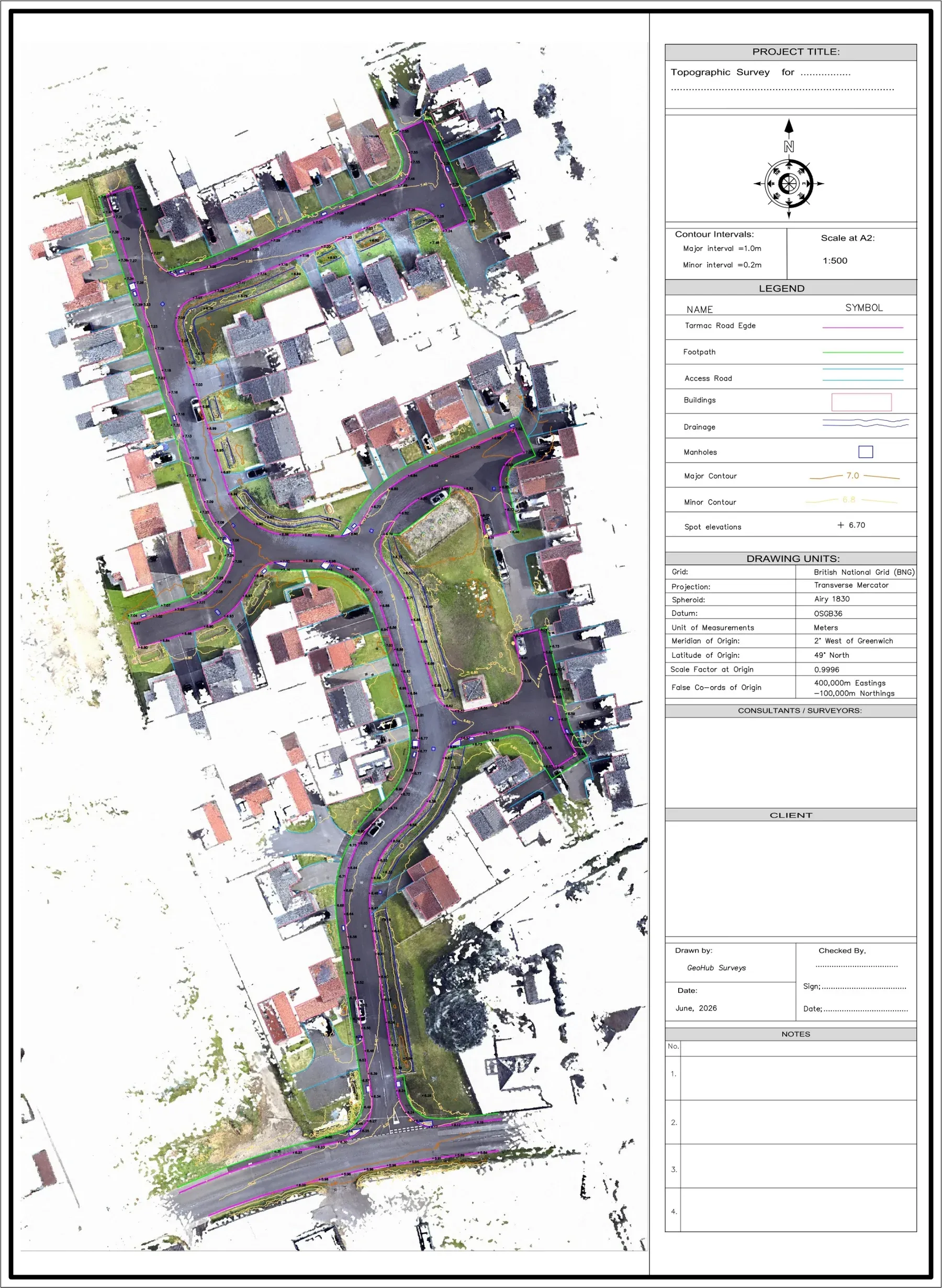
 Survey drafting outsourcing More fieldwork, less backlog — keep your crews moving and projects flowing. Your crews are collecting faster than the drafting desk can keep up, and finished jobs are sitting unbilled. Send a sample drawing
  Civil CAD overflow production Deadlines don't move. Your capacity can. A tender lands, production spikes, and hiring for a six-week surge makes no sense. Talk through your next deadline
  Drone data processing Fly more, process less — deliver professional maps without the processing headache. Capturing great aerial data is easy. Turning it into professional deliverables takes time you'd rather spend flying. Upload a test dataset
 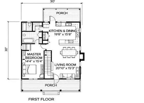 Scan-to-BIM Scan more, process less — turn captured data into project-ready deliverables. Scanning takes a day. Modelling takes weeks, and difficult datasets come back unfinished. Send a problem scan
 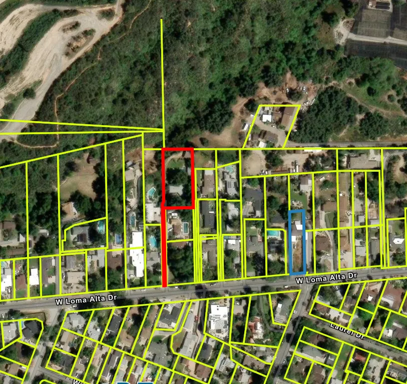 GIS data conversion Messy spatial data, made usable — cleaner databases, smoother GIS workflows. Years of records sit across outdated or incompatible systems, too large for your team and too specialised to hire for. Scope a pilot conversion
 What we do not do
GeoHuB produces deliverables from data you supply or from openly available public data. We do not mobilise crews, visit sites, or issue licensed or certified survey products in your jurisdiction.
It is near the top rather than the bottom because it decides whether we are any use to you. Every deliverable comes from data you send us or from open public data. Nobody gets in a vehicle.
For the firms we work with that is the point, not a caveat. They already have crews and licences — what they are short of is production hours.
The trial job
Send one drawing before you send us anything real.
One representative job, produced to your standard and returned. You decide afterwards.
Pick something awkward rather than something easy — difficult vegetation, a fussy sheet standard, the dataset another vendor returned unfinished. A clean job tells you almost nothing.
We reply within 24 hours and send a full written scope within two business days.
Your standards, not ours
Your template, layers, title block and sheet organisation. If the standard is not written down, we read it off your finished drawings and confirm it before starting.
One contact, start to finish
The person who scopes your work produces it. No account manager between you and whoever can actually answer a question about the corridor model.
Priced before you commit
Method, deliverables, formats, timeline and a fixed price in writing within two business days. Free, no obligation, revisions included.
Send us whatever you already have
A marked-up PDF or a photo of a field book is fine. We would rather work from what your crew already records than ask them to change anything.
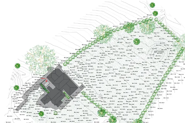
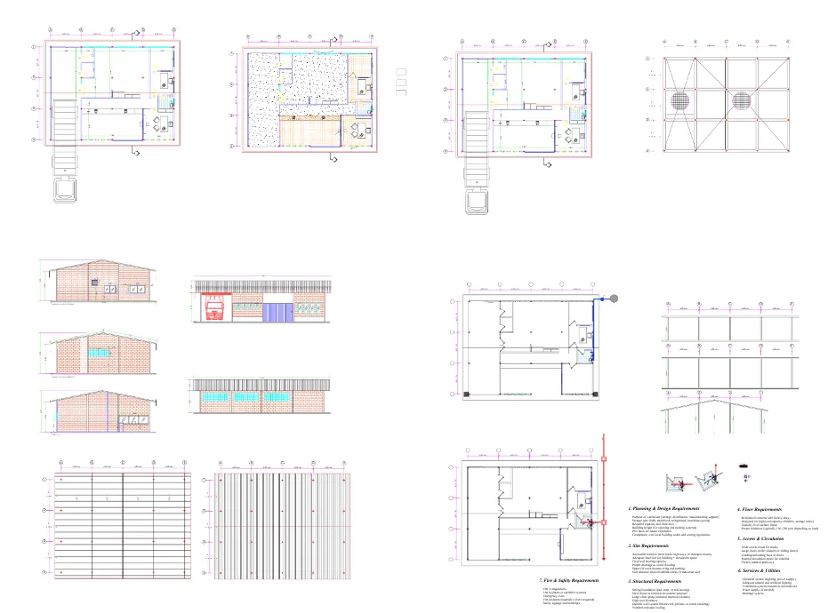
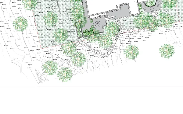
Finished sheets
Drawings, not mockups.
Both were produced to the client's own conventions and are shown as issued, with client and project fields blank. Nothing here is a stock image or a sample from a software vendor.
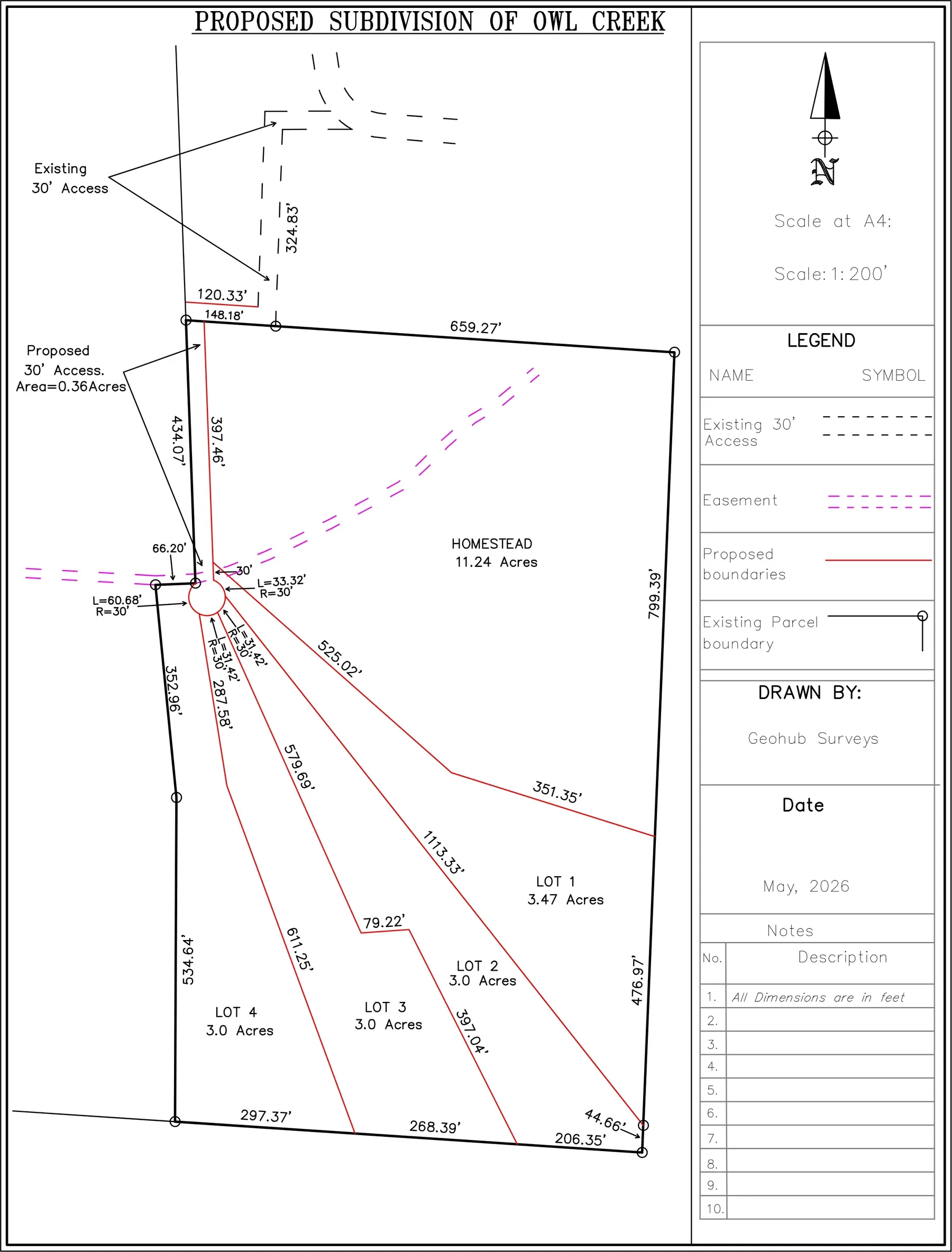
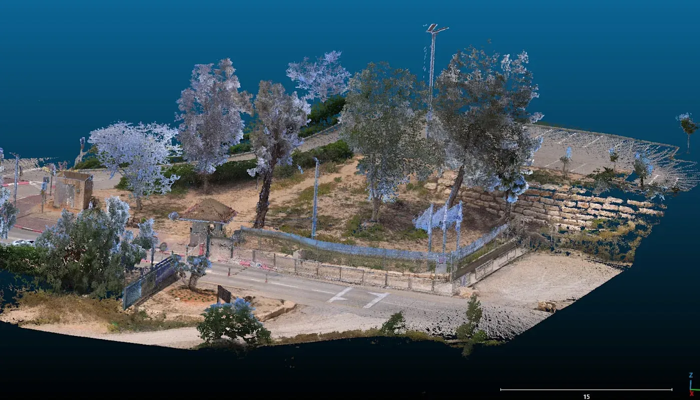
What arrives
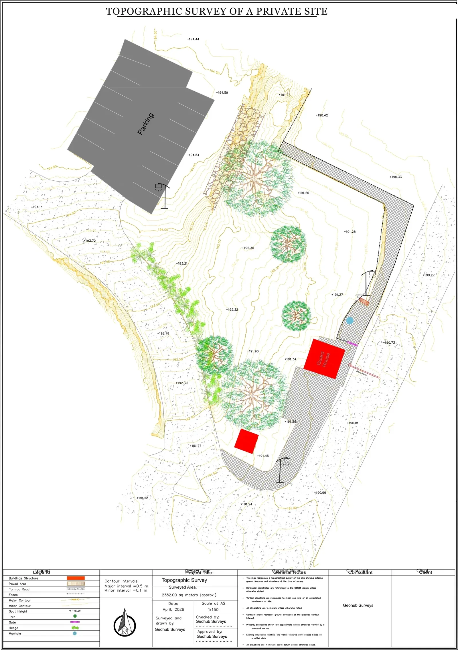
What leaves
Client reviews
What clients say about the work
Every quote below is a verbatim review left by a paying client on a public profile, with the handle and country kept so it stays checkable. Nothing here is written by us.
“Great work completed, everything done as requested even with a couple of revisions. Couldn't ask for more.”fns_surveying
United Kingdom · Topographic mapping from point cloud data
“Keith Mwega did an excellent job creating a topographic map for my residential property. He was very responsive throughout the entire process and communicated clearly every step of the way. The final map came out great and looked very professional.”rogerarias1992
United States · Residential topographic survey map
“Great guy, very responsive, good communicator. Will certainly collaborate with him again.”jordansloan494
United States · Repeat client · Contour and site plans
Send a sample job.
One representative drawing or dataset, produced to your standard and returned, before you commit to anything at all.
Reply within 24 hours. Written scope within two business days.